

Archive Record
Images
Additional Images [19]
Metadata
Accession # |
A1985.110 |
Title |
Maps of Puslinch, Devonshire, England, and Puslinch Township, Ontario, ca. 1950-1980. |
Date |
1877-1980 |
Description |
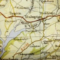
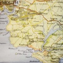
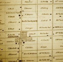
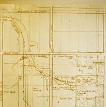
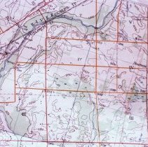
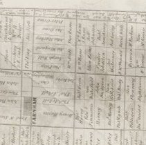
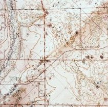
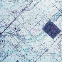
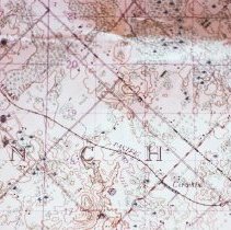
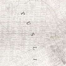
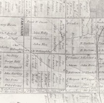
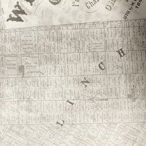
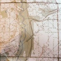
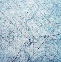
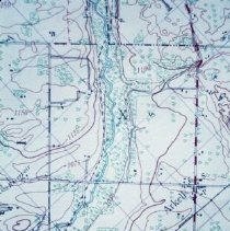
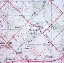
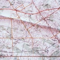
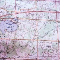
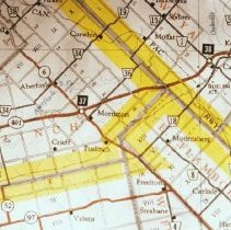
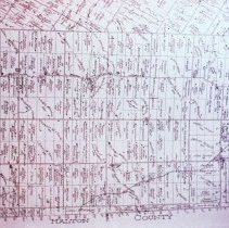
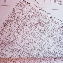
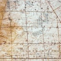
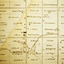
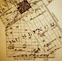
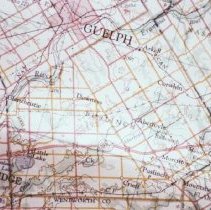
Colour slides of maps of Puslinch Township, Ontario and Puslinch, Devonshire, England. slide 684: Road map of Devonshire, England; detail showing River Yealm, Puslinch, and area. slide 685: Road map of Devonshire, England; detail of English Channel, Plymouth, and Puslinch. slide 687: Map of Puslinch Township; detail of Morriston and surrounding farms, taken from the 1877 Historical Atlas of Wellington County. slide 689: Topographical map of the northwest corner of Puslinch Township, Ontario. slide 690: Farnham and surrounding farms, Puslinch Township, from the 1877 Historical Atlas of Wellington County. slide 691: Topographical map of Puslinch Township; detail of Arkell and area. "Arkell & 10th of Puslinch". slide 692: Topographical map showing portion of City of Guelph, and land in Puslinch Township, some of which has been highlighted. slide 693: Topographical map of Puslinch. slide 694: Detail of a map of Puslinch Township, 1877. slide 695: Farnham and surrounding Puslinch Townshp farms, 1877. slide 696: Detail of a map of Puslinch Township, 1877. slide 697: Topographical map showing Arkell and the Eramosa River. slide 698: Detail of a map of Wellington and Halton Counties, with an area highlighted. slide 699: Topographical map of Puslinch Township. slide 700: Topographical map of Puslinch Township, detail. slide 701: Detail of a topographical map of Puslinch Township. slide 702: Topographical map of Puslinch Lake and area. slide 703: Road map of Morriston and area. slide 704: Detail of Puslinch Township, from the 1906 Historical Atlas of Wellington County. slide 705: West side of Puslinch Township, from the 1906 Historical Atlas of Wellington County. slide 706: Topographical map of Gore District, Puslinch Township. slide 707: Aberfoyle and surrounding farms, 1877. slide 708: Puslinch Township, 1877. slide 709: Road map of Guelph and Puslinch Township (slide made January 1975). |
Creator \ Maker |
Unknown [CARTOGRAPHER] |
Creator \ Maker |
Couling, Gordon [PHOTOGRAPHER] |
Item Name |
Slide Map |
Place |
Puslinch Twp. Arkell Puslinch Manor Devonshire England Morriston Farnham Gore District Puslinch Lake Aberfoyle |
Subject |
Architecture Transportation Railroad |
Photo, Map # |
684 685 687 688 689 690 691 692 693 694 695 696 697 698 699 700 701 702 703 704 705 706 707 707 708 709 map |
Year Range from |
1877 |
Year Range to |
1980 |
Accession # |
A1985.110 |
Containers |
STACKS |